Category:Tamriel Rebuilt-Map Images-Regions
The UESPWiki – Your source for The Elder Scrolls since 1995
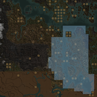
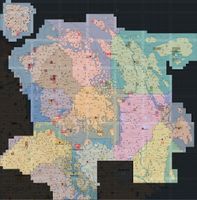
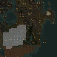
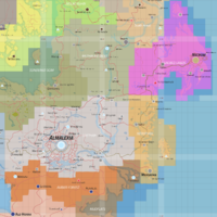
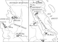
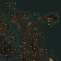
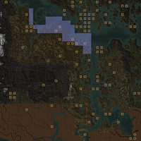
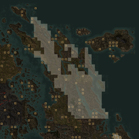
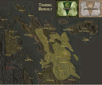
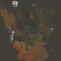
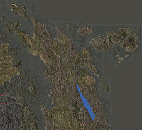
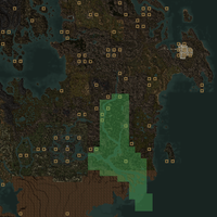
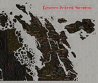
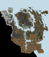
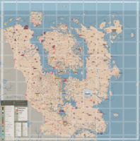
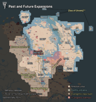
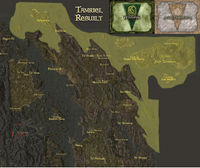
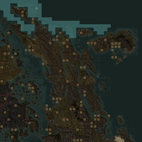
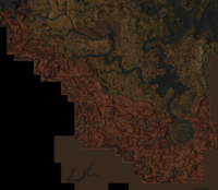
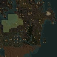
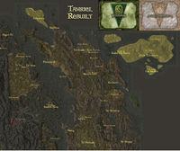
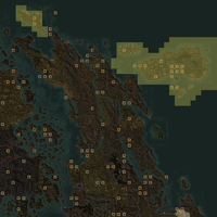
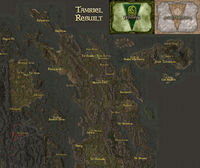
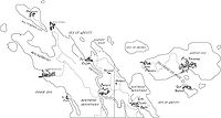
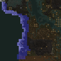
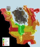
All the maps of regions and large exterior areas (such as the entire mainland) in Tamriel Rebuilt.
Media in category "Tamriel Rebuilt-Map Images-Regions"
The following 66 files are in this category, out of 66 total.
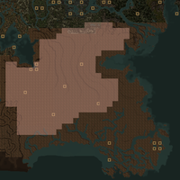
- TR3-map-Aanthirin.png 612 × 612; 616 KB
- TR3-map-Almsivi Intervention.jpg 1,000 × 1,014; 353 KB
- TR3-map-Alt Orethan.png 666 × 666; 632 KB
- TR3-map-Amber Forest.png 1,473 × 1,473; 780 KB
- TR3-map-Antediluvian Secrets.jpg 725 × 536; 76 KB
- TR3-map-Aranyon Pass.png 738 × 738; 654 KB
- TR3-map-Armun Ashlands.png 612 × 612; 601 KB
- TR3-map-Arnesian Jungle.png 576 × 575; 245 KB
- TR3-map-Ascadian Bluffs.png 612 × 612; 604 KB
- TR3-map-Boethiah's Spine.png 738 × 738; 678 KB
- TR3-map-Boethian Mountains Old.jpg 1,408 × 1,185; 397 KB
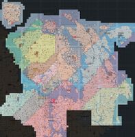
- TR3-map-Cell Export Preview.jpg 6,208 × 6,144; 4.09 MB
- TR3-map-Cell Export Release.jpg 4,992 × 4,288; 2.47 MB
- TR3-map-Claim Map (Antediluvian Secrets).jpg 1,111 × 898; 214 KB
- TR3-map-Claim Map (Telvannis).jpg 1,555 × 820; 232 KB
- TR3-map-Clambering Moor.png 540 × 540; 392 KB
- TR3-map-Deshaan Plains.png 576 × 575; 248 KB
- TR3-map-Divine Intervention.jpg 1,000 × 1,015; 356 KB
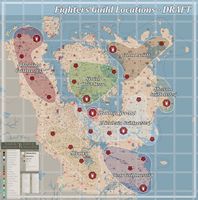
- TR3-map-Fighters Guild.jpg 2,000 × 2,020; 715 KB
- TR3-map-Grey Meadows.png 540 × 540; 391 KB
- TR3-map-Helnim Fields Old.jpg 1,408 × 1,187; 397 KB
- TR3-map-Helnim Fields.png 738 × 738; 668 KB
- TR3-map-Inner Sea Old.jpg 1,408 × 1,186; 399 KB
- TR3-map-Julan-Shar.png 540 × 540; 389 KB
- TR3-map-Lake Boethiah.jpg 1,000 × 913; 138 KB
- TR3-map-Lan Orethan.png 666 × 666; 626 KB
- TR3-map-Location Map.jpg 2,880 × 2,432; 998 KB
- TR3-map-Locations.jpg 5,824 × 6,784; 8.1 MB
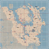
- TR3-map-Maps.jpg 2,476 × 2,476; 1.03 MB
- TR3-map-Mephalan Vales.png 666 × 666; 631 KB
- TR3-map-Molagreahd Old.jpg 1,408 × 1,185; 398 KB
- TR3-map-Molagreahd.png 738 × 738; 664 KB
- TR3-map-Morrowind.png 4,200 × 4,241; 5.19 MB
- TR3-map-Mudflats.png 576 × 575; 247 KB
- TR3-map-Nedothril.png 666 × 666; 631 KB
- TR3-map-Othreleth Woods.png 648 × 647; 390 KB
- TR3-map-Padomaic Ocean.png 846 × 846; 1.09 MB
- TR3-map-Political Influence.jpg 5,824 × 6,784; 6.4 MB
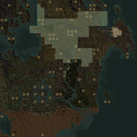
- TR3-map-Regions (Antediluvian Secrets).jpg 1,000 × 913; 146 KB
- TR3-map-Regions.jpg 4,200 × 4,241; 3.33 MB
- TR3-map-Release Roadmap.png 4,200 × 4,441; 3.6 MB
- TR3-map-Roth Roryn.png 612 × 612; 602 KB
- TR3-map-Sacred Lands.png 666 × 666; 632 KB
- TR3-map-Salt Marsh.png 576 × 575; 247 KB
- TR3-map-Sea of Ghosts Old.jpg 1,408 × 1,185; 398 KB
- TR3-map-Sea of Ghosts.png 738 × 738; 654 KB
- TR3-map-Shipal-Shin.png 2,060 × 1,792; 5.11 MB
- TR3-map-Sundered Scar.png 666 × 666; 625 KB
- TR3-map-Telvanni Isles Old.jpg 1,408 × 1,185; 397 KB
- TR3-map-Telvanni Isles.png 738 × 738; 660 KB
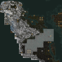
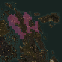
- TR3-map-Telvannis and Antediluvian Secrets.jpg 1,408 × 1,184; 384 KB
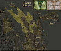
- TR3-map-Telvannis.jpg 1,268 × 680; 100 KB
- TR3-map-Thieves Guild.jpg 2,000 × 2,020; 713 KB
- TR3-map-Thirr Valley.png 648 × 647; 392 KB
- TR3-map-Travel Routes (14.08).png 1,630 × 2,430; 445 KB
- TR3-map-Travel Routes (15.12 Preview).png 2,500 × 2,500; 1.96 MB
- TR3-map-Travel Routes (20.02 Preview).png 3,600 × 3,600; 2.22 MB
- TR3-map-Travel Routes (Aanthirin No Travels).png 3,600 × 3,600; 1.66 MB
- TR3-map-Travel Routes (Aanthirin Preview).png 3,600 × 3,600; 1.94 MB
- TR3-map-Travel Routes (Aanthirin).png 3,600 × 3,600; 1.62 MB
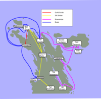
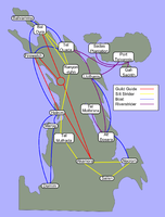
- TR3-map-Travel Routes (Antediluvian Secrets).png 986 × 967; 147 KB
- TR3-map-Travel Routes (Sacred East).png 1,630 × 2,140; 374 KB
- TR3-map-Uld Vraech.png 540 × 540; 387 KB
- TR3-map-Valley of Mephala.png 565 × 565; 185 KB
- TR3-map-Velothi Mountains.png 648 × 648; 590 KB
- TR3-map-Zone Difficulty.jpg 5,824 × 6,784; 6.67 MB
