This page is a list of all texts and documents found on the ZeniMax Interactive Map of Tamriel, released prior to Elder Scrolls Online. It was updated once to include detailed information about Cyrodiil, and again for the release of Lower Craglorn. It was subsequently discontinued and is no longer available on the site. Texts contain information that can be used as a reference in lore articles.
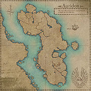
Auridon[edit]
|
| Tall, craggy cliffs and exotic forests surround Firsthold, an elegant city of the High Elves. |
 |
|
|
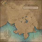
Grahtwood[edit]
|
| Elden Root serves as the center of the Aldmeri Dominion, hidden away in the impenetrable jungle. |
 |
|
|
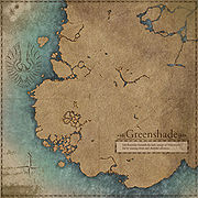
Greenshade[edit]
|
| Life flourishes beneath the lush canopy of Valenwood, fed by snaking rivers and plentiful resources. |
 |
|
|
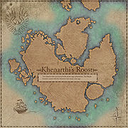
Khenarthi's Roost[edit]
|
| This island is lush and dotted with moon sugar plantations. The Khajiit formed a treaty with the Maormer here many years ago. |
 |
|
|
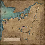
Malabal Tor[edit]
|
| The deepest heart of Valenwood, where little light reaches the forest floor. |
 |
|
|
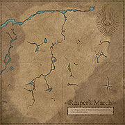
Reaper's March[edit]
|
| The rolling grasslands of Elsweyr meet Valenwood's forests in this embattled territory. |
 |
|
|
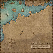
Alik'r Desert[edit]
|
| An arid wasteland where ancient ruins and deadly creatures lie hidden in the shifting sands. |
 |
|
|
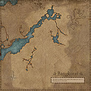
Bangkorai[edit]
|
| The thick woodlands in the north of this region give way to a blistering desert in the south. |
 |
|
|
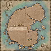
Betnikh[edit]
|
| Wrested from the Bretons by Orcs centuries ago, it is an easily-defended island with high cliffs and rich farmland. |
 |
|
|
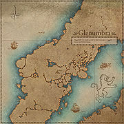
Glenumbra[edit]
|
| Daggerfall City stands proud in this landscape of rugged woods and fetid swamps. |
 |
|
|
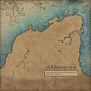
Rivenspire[edit]
|
| Jagged Rock formations rise from the lowland shadows in this gloomy expanse of High Rock. |
 |
|
|
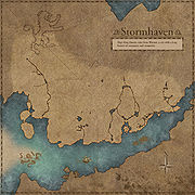
Stormhaven[edit]
|
| High King Emeric rules from Wayrest, a city with a long history of commerce and prosperity. |
 |
|
|
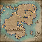
Stros M'Kai[edit]
|
| Pirates and smugglers find safe haven on this desert island, which is ruled by the self-appointed Headman Bhosek the Bloody. |
 |
|
|
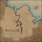
Bal Foyen[edit]
|
| A volcanic landscape inhabited by once-enslaved Argonians and home to Fort Zeren, built by the Dark Elves. |
 |
|
|
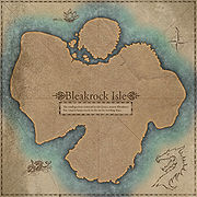
Bleakrock Isle[edit]
|
| The small garrison stationed in this frozen, remote Ebonheart Pact outpost keeps watch on the sea for invading ships. |
 |
|
|
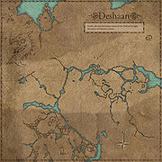
Deshaan[edit]
|
| Fertile, ash-enriched plains surround the Tribunal Temple, the center on Dunmeri culture. |
 |
|
|
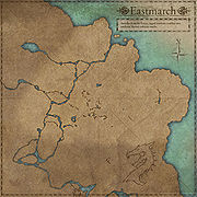
Eastmarch[edit]
|
| Streches from the frozen, jagged northern coastline into southern Skyrim's volcanic tundra. |
 |
|
|
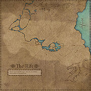
The Rift[edit]
|
| Skyrim's most hospitable region, where the city of Riften stands amidst the autumnal forest. |
 |
|
|
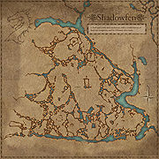
Shadowfen[edit]
|
| A fetid mire, rank and treacherous, with a sordid history of Imperial occupation and the Dunmeri slave trade. |
 |
|
|
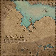
Stonefalls[edit]
|
| This diverse region of Morrowind features landscapes ranging from fungal forests to barren volcanic crags. |
 |
|
|
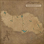
Craglorn[edit]
|
| The towering Dragontail Mountains stand guard over this region's windswept, desolate wastes. |
 |
|
|
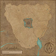
Cyrodiil[edit]
|
| The heart of Tamriel and the Empire. The Alliance War rages across its wooded hills. |
 |
|
|
See Also[edit]
Other texts from the official ESO website include:
.jpg)


